Geospatial
NDBI and ML classification
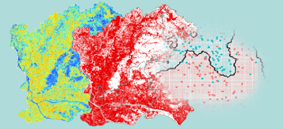
Computation of the NDBI (Normalized Difference Built-up Index) based on Sentinel-2 satellite data and comparison of the thematic map, extracted starting from the results of this index, with the one created through the application of a Machine Learning classification algorithm: k-NN.
Used technologies


Reach the project
Still working on it ... sorry you can't