Geospatial
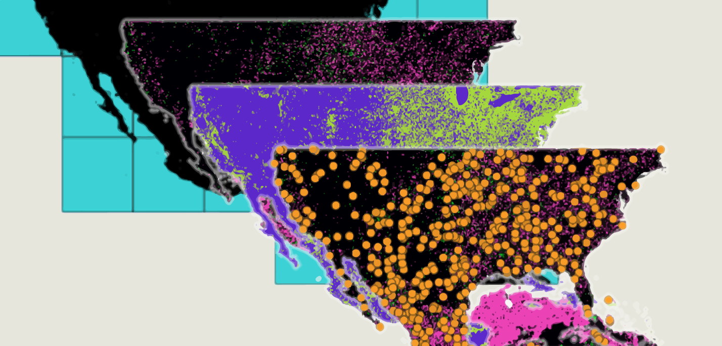
Accuracy assessment of world population raster data
A WebGIS presenting an analysis that tests the accuracy of two publicly available world population data maps; the GHSL and the WorldPop layer against high resolution satellite imagery over an arbitrary study area with an additional intercomparison of the two. (NOTE: it may take a while to load)


